
A Smart Infrastructure Company

.png)

Collect it. Track it. Prove it.
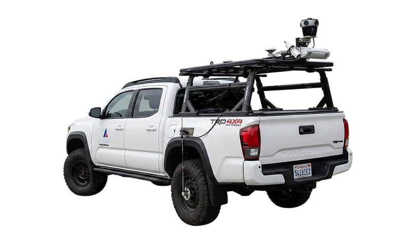
When the road ends, our data collection doesn't. The AMS Trike is a custom-engineered mobile mapping platform designed and built in-house to survey sidewalks, bike paths, trails, and pedestrian infrastructure that traditional vehicles can't reach. Multi-sensor array. Survey-grade accuracy. Zero traffic impact.
Built by AMS. Built for Access.
Our Mission
To turn 20 years of field experience into technology that makes every agency smarter.
We started doing pavement condition surveys and asset inventories, hands-on work for public agencies that needed accurate data. To make our jobs faster and more accurate, our engineers built our own mobile mapping systems, then developed software for LiDAR processing and 360-degree imaging.
That mindset never stopped. Our latest innovation, AMS Insights, is a platform that helps municipalities manage, prioritize, and report on their infrastructure and environmental compliance programs — all in one place.
Every tool we've built came from a real problem we faced in the field. We don't guess what agencies need — we've been doing the work for 20 years.
Our Impact
18K+
30%
Miles Surveyed
Average Resource Savings for Clients
92%
Client Satisfaction Rate
75+
Clients
Testimonials
Worked with


Contact Us